
 Nā Shakayla Andrews-Alapaki tēnei atikara.
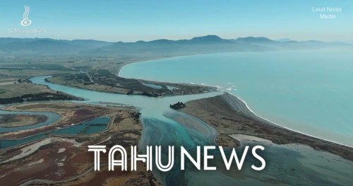
Aotearoa’s oldest known settlement site could face major impacts from climate change, with new modelling showing much of the area may be underwater during severe storm events within the next century.
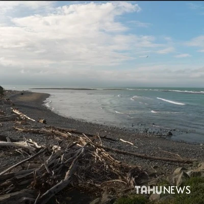
Te Pokohiwi o Kupe, also known as Wairau Bar, is a wāhi tapu of national significance and holds some of the earliest evidence of human settlement in Aotearoa. For Rangitāne o Wairau, the site is far more than an archaeological landmark. It is a place deeply connected to their history, identity and traditions.
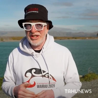
Dr Peter Meihana says the iwi has spent years researching and learning more about the site as kaitiaki.
“So it's been a very interesting last 15 years. And because we are the tangata whenua, the kaitiaki of this place, we want to know as much about it as possible,” he said.
“What we're starting to quickly learn is that Te Pokohiwi is now under threat of sea level rise.”
The site contains ancestral remains and important artefacts linked to some of the first Polynesian settlers who arrived in Aotearoa from the Pacific more than 800 years ago. It was also once a thriving mahinga kai area where people gathered resources including pātiki and īnanga.
“It was a settlement site as well,” said Meihana.
“For most people, they'll recognise Te Pokohiwi, Wairau Bar, as the archaeological site. For us, it's wāhi tapu.”
He says the history of the site reflects the wider story of Rangitāne o Wairau.
“If you go back 800 years, it's believed that around that time the first settlement site for Polynesian ancestors arrived here.”
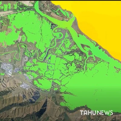
To better understand the risks posed by rising seas, Rangitāne o Wairau has partnered with Earth Sciences New Zealand to develop a two-dimensional hydrodynamic model of the area.
Project lead Corey Hebberd says the model allows researchers to examine how future sea level rise and storm events could affect the site.
“The modelling showed that around 2100 we can expect that the sea level in the area will have risen by around a metre,” he said.
“That could see, in a one-in-100-year storm event, 75 percent of the site flooded.”
Hebberd says the model takes into account the site's terrain and elevation, helping researchers identify which areas are most vulnerable.
“At its simplest, it's a computer model that scientists and researchers are able to use,” he said.
“It takes into consideration different terrain types, which parts of the site are the highest and which parts are the lowest, and then it gives consideration to things like sea level rise.”
Rangitāne o Wairau and Earth Sciences New Zealand spent two years developing the model, which iwi members hope will provide valuable information for future planning and protection efforts.
Hebberd says the significance of Te Pokohiwi extends beyond Marlborough.
“It’s one of the sites that was first settled in the country,” he said.
“How we learn from that, how we protect what's there and learn from it for the whole of the country and tell that story, it's really important that we have consideration of sea level rise and how that might impact the area.”
While the long-term future of Te Pokohiwi o Kupe remains uncertain, Rangitāne o Wairau says understanding the risks now is a crucial step toward protecting one of Aotearoa’s most important cultural and historical sites for future generations.
|
|
|